
Today I want to share my Cotswolds map with you. This Area of Outstanding Natural Beauty in the English countryside is packed with places to see. From villages to houses and landscapes, it’s worth a trip to discover all it has to offer. I hope this interactive map of the Cotswolds will be a helpful resource for you as you plan your travels. This is a beautiful part of the UK, and it’s worth taking the time to discover.

Cotswolds Map
Situated to the northwest of London, the Cotswolds span nearly 800 square miles (2,070 square kilometers) across five counties in England.
Oxfordshire, Gloucestershire, Wiltshire, Warwickshire, and Worcestershire all contribute to the Area of Outstanding Natural Beauty’s geography.
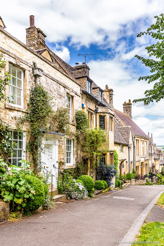
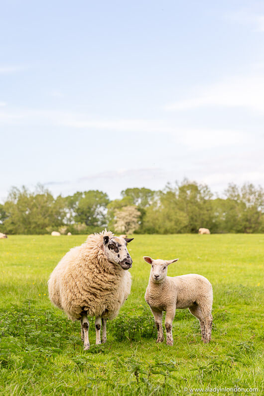
The Cotswolds are known for their pastoral landscapes and picture-pretty villages, not to mention their heritage buildings, thatched-roof cottages, lush gardens, and country charm.
While the area is largely rural, towns and cities like Cheltenham, Cirencester, and Bath sit on the borders and act as urban anchors to the Cotswolds.

Places to Visit in the Cotswolds
I’ve published a lot of posts about the Cotswolds on the A Lady in London blog, and I’m happy to be able to pull them all together in my Cotswolds map.
I’ve written a Cotswolds day trip itinerary for a day trip from London by car. I’ve also done a guide to visiting the Cotswolds without a car and a Cotswolds itinerary for 3 days without a car.
I’ve written a review of a small-group Cotswolds day tour and an Oxford and Cotswolds day tour from London as well.
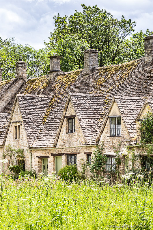
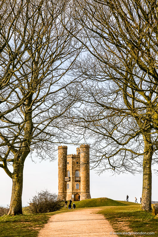
I’ve also compiled lists of the prettiest Cotswolds villages, the most beautiful places to visit in the Cotswolds, and National Trust Cotswolds properties.
I’ve even published routes and maps for a Moreton-in-Marsh walk and a Burford circular walk.
For seasonal travel, I’ve written about how to spend a spring weekend in the Cotswolds, an autumn weekend in the Cotswolds, and a winter weekend in the Cotswolds.

I’ve also published posts covering specific Cotswolds villages. I’ve written about Painswick, Upper Slaughter, and Castle Combe. I’ve drawn up a map of Cotswold villages, too.

Map of the Cotswolds
You can find all these places and more on my interactive Cotswolds map on Google Maps below.
I’ve compiled all the places I’ve covered on the blog. You can click on the pins to see the names of each one and my corresponding blog posts. I’ll keep the map updated as I publish more posts about the region.
I hope you have fun playing around with my Cotswolds map and that it gives you good inspiration for your future visits to this Area of Outstanding Natural Beauty. There are a lot of amazing places to explore here.
Happy travels!
Find this post helpful? Buy me a coffee!
New here? Join thousands of others and subscribe to the A Lady in London blog via email.
Pin it!
Fantastic information and love the presentation. So, so helpful. Can’t wait to travel there soon.
Thanks! I’m glad to hear that.
Definitely on my bucket list. My DNA brings me to Cotswolds. I would love to go and visit the area! Thanks for a great article.
You’re welcome!